How Redistricting Commissions Handle Public Input
Binding commissions amplify public input; advisory ones leave legislatures free to ignore it.
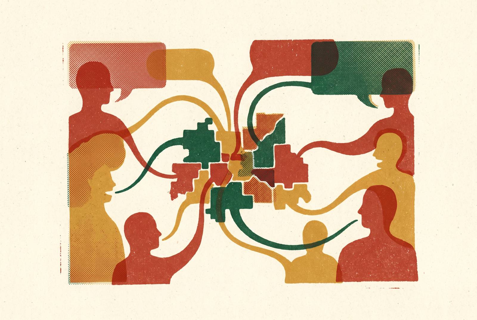
Redistricting commissions draw the lines that decide which voters belong to which district, and who gets to sit in Congress or a state legislature representing them. That's the whole job. But the setup varies so much state to state that "redistricting commission" barely functions as a single category anymore.
Start with the numbers. After the 2020 census, only 11 of the states apportioned multiple U.S. House seats handed primary map-drawing duty to a commission. House seat handed primary map-drawing duty to a commission. Everywhere else, the legislature just does it itself, the way it always has.
Even among the 11, the authority looks nothing alike. California and Michigan run independent citizen commissions with binding power: what the commission draws is what gets used, full stop. Maine, Maryland, New Mexico, Rhode Island, and Utah use advisory commissions instead: a commission draws a map, but the legislature still has to sign off on it, and can change or ignore it. Iowa runs something different again: a nonpartisan legislative staff draws the plan, then sends it to lawmakers. And a handful of states, including Connecticut, Indiana, and Ohio, only activate a backup commission if the legislature can't agree on a map itself.
Why does this distinction matter for someone thinking about submitting testimony or a map? Because it changes what public input can actually accomplish. If comments are fed to a binding commission, there's a real chance they shape the final product directly. Feeding the same comments to an advisory body creates an extra veto point sitting between that input and the map that actually governs elections. The legislature can just discard the recommendation. Anyone planning to spend an evening driving to a hearing should know that the legislature can just discard the recommendation.
What the law requires commissions to do
No federal law currently tells every commission in the country how to run public input. What exists instead is a patchwork: state constitutions, statutes, and charter provisions, each state building its own version of "enough" transparency.
That could change. The Redistricting Reform Act of 2025, introduced in both the House and Senate, would set a federal floor. Under the bill, commissions would have to hold meetings in public, actively solicit and consider public comments (maps included), work in the open with wide dissemination of both draft and final plans, and run a public website, not tied to any elected official, listing hearing schedules and submission deadlines.
As of publication, both bills are "Introduced." Neither has passed either chamber. So for now, this remains a proposal.
What states actually require today falls well short of that standard, and it's inconsistent by design. Some states mandate a set number of public meetings. Some require draft plans to be published before adoption. Some build in a formal comment window before a final vote. None of these three requirements applies everywhere. A commission in one state might hit all three; a commission in another might legally satisfy its obligations with one hearing and a locked door afterward.
The main channels commissions use to collect public input
Commissions generally rely on three channels to hear from the public, and each one filters who actually gets heard.
In-person hearings are the oldest format, and the most limiting. Attendance means showing up somewhere physically, at a set time, which already screens out anyone without a car, flexible work hours, or childcare. Baltimore County's 2025 process shows the pattern: a community hearing in Middle River on Monday, May 12, at 6:00 p.m., and another in Randallstown on Monday, May 19, also at 6:00 p.m. Testimony is spoken, recorded, and usually capped at a few minutes per speaker.
Virtual hearings loosen the geographic barriers to attendance, though scheduling conflicts remain. Baltimore County held a second hearing entirely online on April 30, 2025, specifically to gather feedback on its first draft map, which had been published just eight days earlier on April 22. California's Citizens Redistricting Commission ran most of its 2020 to 2021 cycle remotely, largely because of pandemic restrictions at the time. Nobody had to drive anywhere, but everybody still had to log on at 6 p.m. on a Wednesday.
Written testimony solves that last piece. Baltimore County kept an email address, CouncilmanicRedistricting@baltimorecountymd.gov, open around the clock, with a rule that any testimony received gets shared with every commissioner within one working day and posted publicly. California ran something similar through VotersFirstAct@crc.ca.gov. Because it's asynchronous, this is the channel a working parent at 11 p.m. can actually use, and it tends to widen participation past whoever happens to be free on hearing night.
A fourth channel has grown fast enough to deserve its own mention: citizen-submitted maps and community-of-interest descriptions. Community-based organizations then gathered and packaged that kind of input on behalf of entire neighborhoods, turning scattered individual submissions into something a commission could actually read as a pattern.
Putting those four channels together, the mix itself starts to matter. A commission running only daytime, in-person hearings will hear from a noticeably different group of people than one that also takes written comments at midnight and accepts hand-drawn community maps online.
The digital tools citizens use to submit maps and define communities
A handful of free tools now give ordinary citizens access to the same block-level census data that professional map drawers use, which is a real shift from a decade ago when that data lived mostly behind institutional walls.
DistrictBuilder is open source and free, and lets users draw maps using the same block-level data that ends up in legally binding redistricting plans. Districtr, built by the Data and Democracy Lab, lets someone divide up a state, county, or city and see how the resulting lines change who gets elected and where resources flow. Representable focuses specifically on communities of interest, built with the Princeton Gerrymandering Project and backed by Schmidt Futures. The Redistricting Data Hub hosts validated precinct boundaries paired with election results, useful for racially polarized voting analysis, plus Census and voter file data and population projections, all free to use, and its "Choose Your Mapping Tool" feature helps someone figure out which of these tools actually fits their need.
What these tools share is a translation function. Someone knows their neighborhood better than any commissioner ever will, and these tools turn that local knowledge into a map file or a written description that staff can lay directly next to the official draft.
But a 2024 study on digital participation tools flagged a real gap on the other side of that exchange. These tools move information from citizens to government well. What they don't do is send information back. The study identified a clear deficiency in feedback mechanisms, the limited ability for citizens to see how decisions were carried out or evaluated afterward. Someone can submit a map. Whether that map got looked at, argued over, or filed away unread, is often invisible to the person who submitted it.
The same research raises a second concern: digital tools can hand disproportionate influence to whichever individuals or organizations already have the technical comfort to use them well, while broader online civic participation stays limited. So digital channels expand who can submit input. They don't automatically make the process more democratic on their own; that depends on who shows up to use them.
Coalitions and community organizations that turn individual input into collective weight
A single comment rarely moves a commission. A hundred comments saying the same thing, organized and delivered as a pattern, often does.
Common Cause was among the groups that built exactly that kind of infrastructure through the CHARGE Coalition, short for Coalition Hub Advancing Redistricting and Grassroots Engagement, bringing together nine national groups: APIAVote, Center for Popular Democracy, Common Cause, Fair Count, League of Women Voters, Mi Familia Vota, and NAACP. The coalition trained local activists and produced multilingual materials explaining redistricting basics, essentially building the capacity for grassroots input before a single hearing was ever scheduled.
New Mexico offers maybe the clearest example of what that capacity-building can produce. Advocates from the Center for Civic Policy, Progress Now, the New Mexico Black Voters Collaborative, and other groups organized across racial lines and pushed for what became the "People's Map," a congressional map shaped substantially by organized community input. That map reflected the community-of-interest priorities that advocates had organized around. It happened through a brand-new institution, too: New Mexico's Citizen Redistricting Committee, a seven-member advisory commission established by SB 304 and signed into law in April 2021, with members barred from having worked as legislative staff, lobbyists, or officeholders in the prior two years. The People's Map got adopted. That's a documented case of organized public input producing a map that likely wouldn't have existed otherwise.
Michigan tells a related but different story, because the organizing there happened before the commission even existed. The state's independent commission was created by a 2018 citizen ballot initiative, meaning community organizers shaped the institution itself, not just what it eventually drew. Documented results showed: majority-minority districts in both the Michigan House and state Senate increased notably.
Two different states, two different mechanisms, same underlying lesson. Individual testimony gets heard. Organized, coordinated testimony gets weighed.
How commissions weigh and incorporate the input they receive
The process gets genuinely murky here, and the 2024 study's findings on accountability land hardest. Most commissions have no standard, public way of explaining which comments actually changed a line on a map, and which got read and set aside.
Three rough patterns appear across the examples on record. The first is procedural acknowledgment: comments get logged, published on a website, and read by commissioners, the way Baltimore County handles it, where comments are logged and shared with commissioners without a publicly described scoring or response system. The second is substantive integration, where commissioners use community-of-interest submissions and hearing testimony to identify which neighborhoods need to stay together, then check draft maps against that list. The third is legal-pressure integration: input that points out a legal vulnerability in a draft map, a possible Voting Rights Act violation or racial vote dilution claim, tends to carry more institutional weight than a general comment, because it creates a paper trail that could resurface in a courtroom. That framing connects public input directly to legal accountability in the redistricting process.
Binding independent commissions, by design, operate outside the legislative process, which can create more room for testimony that challenges a draft map to be genuinely considered.
Still, the underlying accountability gap doesn't fully close, even in the best-designed systems. Someone submits a map or gives testimony, and often there's no mechanism telling them what happened to it afterward. That's the exact deficiency the 2024 study identified in digital tools generally: input mechanisms are well developed, but feedback to citizens about outcomes is not.
What AI tools are beginning to contribute
AI's biggest current contribution to redistricting is checking the maps humans already drew, not drawing maps for commissioners. It's checking the ones humans already drew.
Tyler Simko at the University of Michigan and Harvard's Algorithm-Assisted Redistricting Methodology Project, known as ALARM, build algorithmic tools that can generate thousands of maps that all satisfy the same set of rules, in some cases producing close to every mathematically possible map within an hour. That capability matters directly for public input. When a citizen or coalition submits an alternative map, one of these ensembles can show whether that alternative sits comfortably within the normal range of options, or stands out as a genuine statistical outlier. That distinction gives citizen-submitted maps something they've historically lacked: analytical standing that holds up in a legal challenge or a commission hearing, not just a claim that "this feels more fair."
A related tool, Optimap, came out of the Institute for Computational Redistricting at the University of Illinois, developed through direct engagement with the Arizona Independent Redistricting Commission during Arizona's 2022 congressional mapping cycle. It's a publicly accessible optimization framework.
None of this settles the underlying fights, though. Both sides in redistricting litigation now bring algorithmic map analysis into court, and legal arguments built on that kind of evidence are becoming more common as control of Congress increasingly turns on how these lines get drawn. AI can tell a commission, or a judge, whether a map is typical or unusual compared to thousands of alternatives. It can't decide which communities deserve to stay together, which testimony deserves more weight, or what fairness actually means in a specific county with a specific history. Those remain judgment calls, made by people, informed (at best) by everyone who bothered to show up and say something.
Sources
- Text - H.R.5449 - 119th Congress (2025-2026): Redistricting Reform Act of 2025 | Congress.gov | Library of Congress
- Text - S.2885 - 119th Congress (2025-2026): Redistricting Reform Act of 2025 | Congress.gov | Library of Congress
- 2025 Redistricting Process – Baltimore County Council
- California Citizens Redistricting Commission - Wikipedia
- Redistricting commissions - Ballotpedia
- redistricting.cs.illinois.edu
- districtr.org
- commoncause.org